Ok, I'm pretty sure I found the spot.
Standing in this one spot on Google street view I get a whole list of similarities.
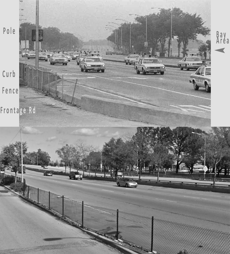
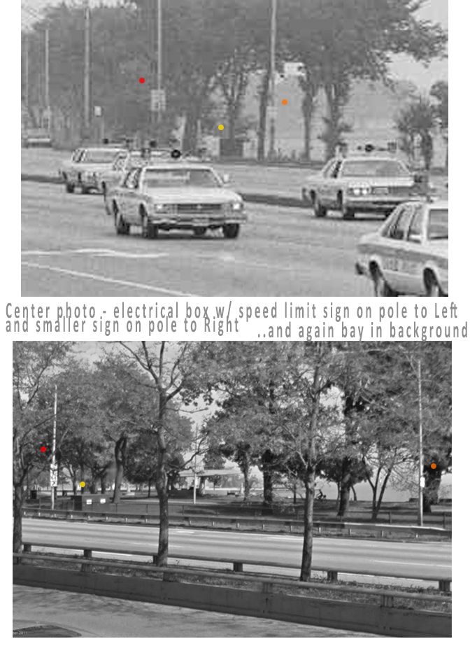
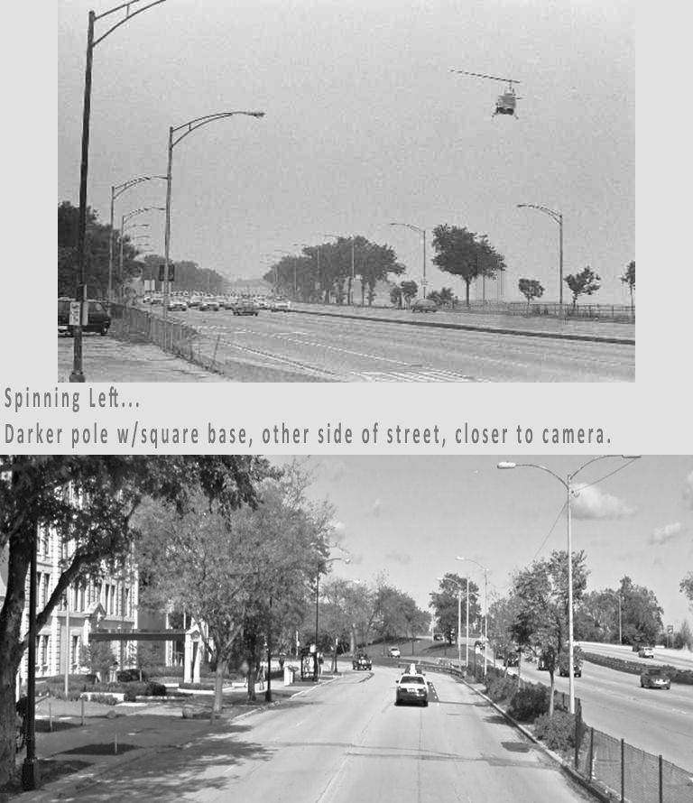
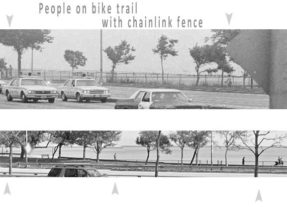
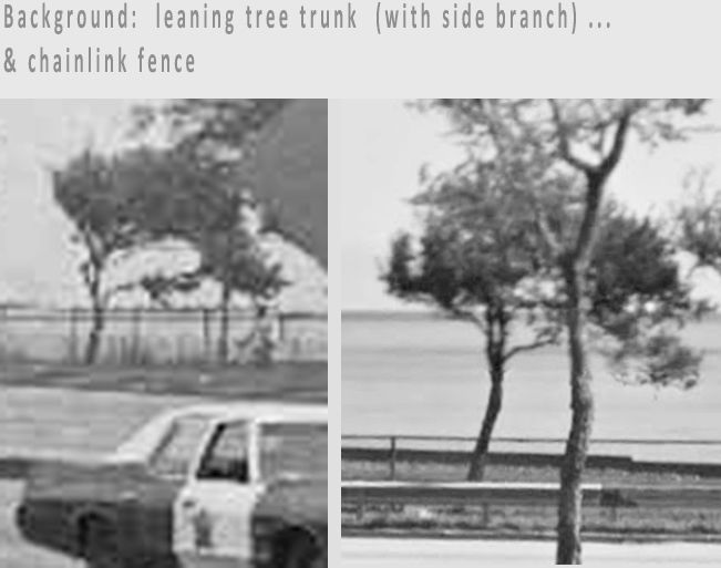
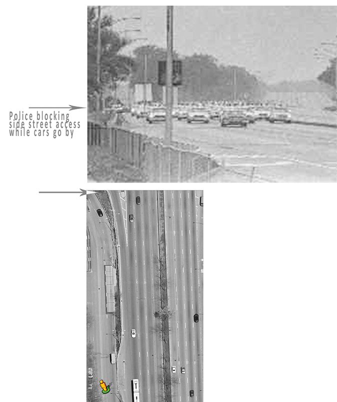
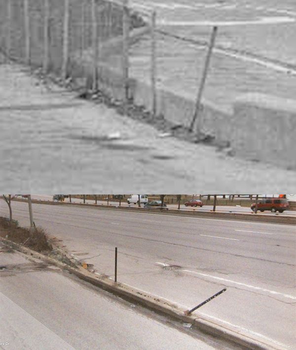
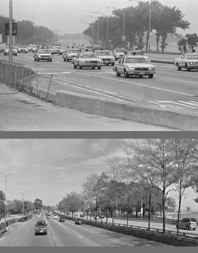
Here are some old shots, compared with new shots, (in no particular order) ...
A shot from "Bing Maps" street view, before the fence was repaired:
Sig asked "What is this?"...
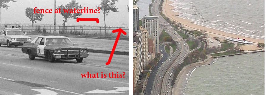
I believe it is the rear upper deck and "smokestack" from the old
"North Avenue Beach Boat House". (Now "Castaway's Bar and Grill")
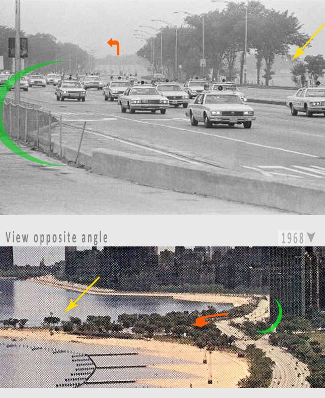
The photographer would have been standing just higher than the lower left corner of the photo, where the road first bends to the right.
Stand in the highway (and remove the new tees in center median) and you get nearly the same shot.
Camera would have been just behind the fence at the the Cut-out section of road, left side of lower of photo.
There is one big setback to this idea...
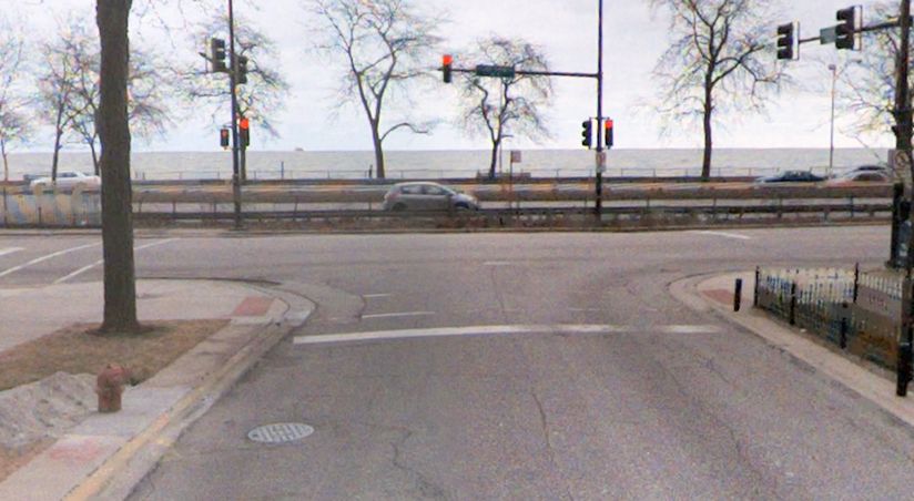
It seems that either "E.Burton Ave", or "E. Schiller Street"
(just to the South of Burton), would at one time have had a turning lane, that didn't... or no longer... exists.
Here is E.Burton:
The Grey car would have at one time been able to turn right onto the street.
I did notice however that the the sidewalk, on the far left side of the intersection, abruptly ends and has a cross walk... The right side of the intersection does not. Perhaps this sidewalk ended at a turning lane?
* Forgot to list address.
On Google Maps Street view, the address is
1549 North Lake Shore Drive
On Bing Maps Street View the very same spot is listed as
1520 N Lake Shore Drive